9 Amazing Volcano Hikes in America
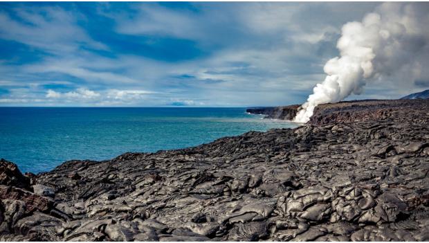
Did You Know: Roughly 90 percent of our planet’s volcanoes lie along a horseshoe-shaped ring of faults that extend north along the west coast of the United States, across the Aleutian Islands, and south to New Zealand. Called the Ring of Fire, this line of seismic activity comes from the movement of tectonic plates covering the earth’s surface. These slabs are anything but stationary, crashing into each other in places and pulling apart in others.
The jagged peaks of the Cascades and the bubbly mud pots of Yellowstone are some of the most obvious signs of our planet’s power, but there are many geologic features, like peaceful alpine lakes and scree-covered mountain slopes, that look innocent enough but hint at powerful forces below ground. That’s what makes the Ring of Fire, a geologic marvel to scientists and a potential threat to residents, a golden opportunity for hikers to explore the outdoors from an entirely new perspective, one that was millions of years in the making.
Take your pick from our list of the top volcano hikes in America.
1. Ha’akulamanu (Sulphur Banks) Trail
Hawaii Volcanoes National Park, Hawaii
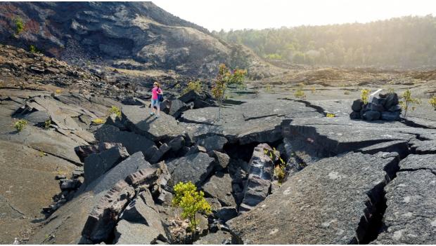
The air surrounding this exposed hiking trail is filled with the smell of rotten eggs. That’s the carbon dioxide, sulfur dioxide and hydrogen sulfide seeping out of the ground around the Kilauea Caldera. Start at the Kilauea Visitor Center for an easy, 1.2-mile round trip trek past steam vents and a boulder field of crystal deposits at Sulfur Banks. Another short trail off the parking area leads to steaming ground cracks on the caldera’s edge at Steaming Bluff. Learn more here.
2. Cinder Cone Nature Trail
Lassen National Park, California
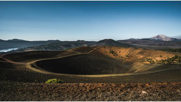
Cinder cone volcanoes are the most common type of volcano, with short, steep sides, a single vent and a bowl-shaped crater. Climb one on the moderately challenging four mile trail to Cinder Cone’s summit. A sandy path travels between forest and the Fantastic Lava Beds, then flanks the south side of the volcano as you begin the ascent to the peak. Enjoy 360-degree views of Prospect and Lassen Peaks, Snag Lake and the Painted Dunes from the top. Learn more here.
Recommended: 7 Adventurous Desert Hikes
3. Rampart Ridge Trail
Mount Rainier National Park, Washington
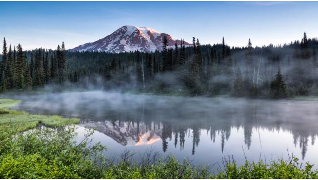
A strenuous climb through old growth forest at the beginning of this 4.6-mile loop leads to a level, ridgeline trek atop an ancient lava flow. During the Great Ice Age, eruptions from Rainier’s peak forced lava up against the massive glacier that carved the White River Valley. As the glacier melted, it left the ridge perched over the valley below. Finish the final 1.7 miles of your hike on Rainier’s famous Wonderland Trail. Learn more here.
4. Paulina Peak Trail
Newberry National Volcanic Monument, Oregon
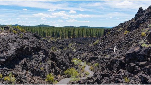
Hike to the highest point on the Newberry Volcano for a stunning perspective on the caldera, surrounding cinder cone volcanoes and the Cascade Mountain range. The challenging 5.5-mile climb leads to an elevation of almost 8,000 feet, where you’ll look down on the pumice cone dividing two snow and rain-fed lakes. Return to the trailhead for short hikes to Big Obsidian Flow, Lava River cave and Lava Butte, all a short drive from the peak trail. Learn more here.
Recommended: 9 Thrilling Night Hikes for Stargazing
5. Lone Star Geyser Trail
Yellowstone National Park, Wyoming
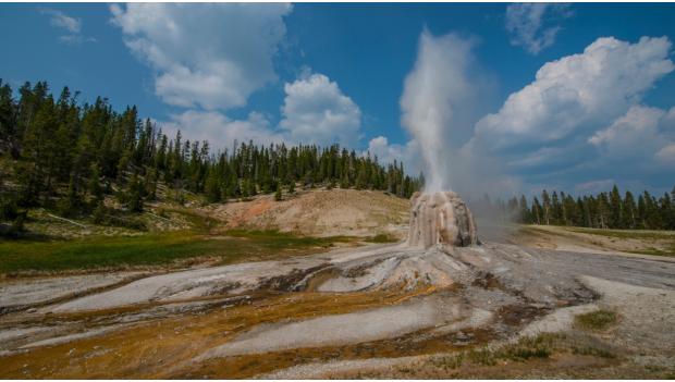
Millions of years ago, an eruption so massive that it coated over 5,000 square miles with ash issued forth from the Yellowstone Supervolcano. Evidence of the powerful magma lurking only three to seven miles under the earth’s surface – paint pots, fumaroles, geysers and more - is everywhere in Yellowstone. Start at Kepler Cascades, just south of Old Faithful, to hike 4.8 miles round trip along a flat, paved road to the Lone Star Geyser. The easy trek through forest along the Firehole River takes you to an eight foot high rock formation shooting a plume of water and steam 30 to 45 feet in the air every three hours. Learn more here.
6. Watchman Peak Trail
Crater Lake National Park, Oregon
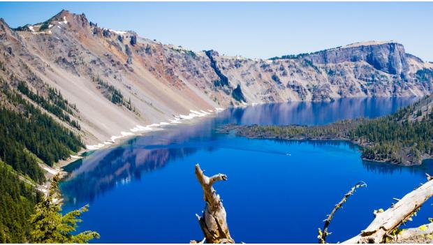
An old park road leads to a series of switchbacks and a short but steep climb to a historic fire tower that rangers still use today. The 1.6-mile round trip rewards you with panoramic views in every direction. At the top, take note of the clarity and deep blue color of Crater Lake. It’s depth of 1,943 feet makes this flooded caldera the deepest lake in the U.S. Surrounding cliffs mark the caldera’s jagged edges, and Wizard Island, on the lake’s western edge, was formed when hot lava poured into the caldera to form this cinder cone island. Learn more here.
Recommended: 9 Incredible West Coast Hikes
7. Bat Cave Buttes Trail
Salton Sea State Recreation Area, California
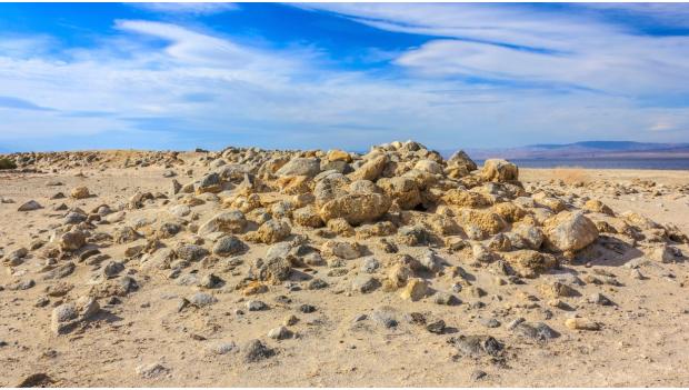
Dark, otherworldly obsidian buttes mark the three-mile round trip loop along the shores of the Salton Sea to Bat Caves Buttes. Though the level trail isn’t clearly marked, finding your way is easy in this barren landscape. It’s one of the lowest spots on earth, and one of the world’s largest inland seas. Another reason to visit – it’s a migration stop and nesting area for 80 to 90 percent of North America’s endangered birds populations. Learn more here.
8. Caves Trail
Craters of the Moon National Monument, Idaho
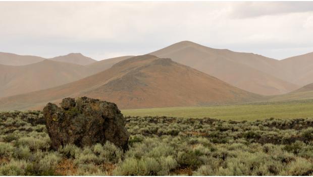
It’s an easy 1.6-mile hike on the Caves Trail through four lava tubes, created when the exterior of an active lava flow cooled to insulate the molten river inside. Add a 1.8-mile hike on the Broken Top Loop to experience a more difficult trip through Buffalo Cave. A free cave permit is required before you enter the caves. Learn more here.
Recommended: 9 Dreamy Winter Wonderland Hikes
9. Skookum Volcano Trail
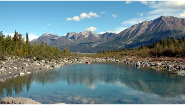
Wrangell-St. Elias National Park & Preserve, Alaska
This rocky and technical trek takes you 5.5 miles through a barren volcanic landscape, past magma domes, surface lava flows and dark lines of lava vents and dikes in the rocks around you. Climb up a creek drainage to the high pass, where you can retrace your steps to the trailhead or continue on, following an unmarked creek bed for a loop hike of the same distance. Learn more here.
